

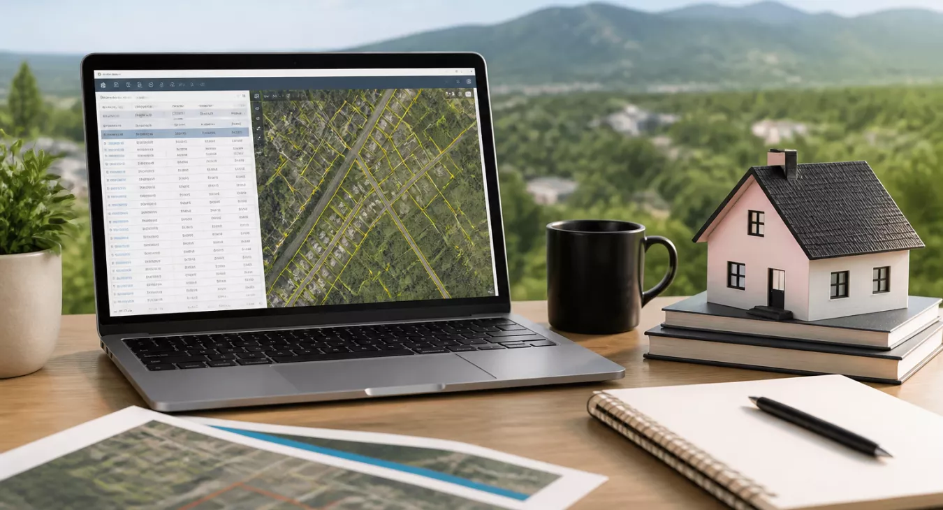
Learn how to download and leverage county assessor data for profitable land investing. Complete guide to finding parcel records, ownership info & market in
Products and Tools Mentioned in this Post


Propstream
Detailed information on Propstream. Get How-To's, reviews, Comparisons, and much more.
Table of Contents
- What's County Assessor Data and Why Download It?
- How to Find Your County's Assessor Data Download
- Types of Data Available in Assessor Downloads
- Legal Considerations and Data Privacy
- Step-by-Step Guide to Downloading Assessor Data
- Cost: Free Downloads vs. Paid Data
- Troubleshooting Common Download Issues
- Conclusion
- Frequently Asked Questions
County assessor data is one of the most powerful — and frankly, underutilized — research tools available to land investors. A single bulk download gives you parcel boundaries, ownership records, assessed values, and sales history for an entire county. All in one place. But here's the problem: no two counties handle public data the same way. File formats vary wildly. Legal restrictions differ. And navigating each portal feels like starting from scratch every time. This guide shows you exactly how to find, download, and use assessor data to power your land investing strategy. Whether you're hunting for vacant land deals to flip or conducting broader market analysis for 2026, you'll learn how to cut through the noise and extract the data that actually matters.

What's County Assessor Data and Why Download It?
Understanding Assessor Databases
Every county in the United States maintains an assessor's office. Their job? Valuing real property for tax purposes. Across roughly 3,143 U.S. counties and county equivalents (some sources count 3,141–3,144 depending on how independent cities are classified), these offices collectively maintain tens of millions of parcel records. And the scale is massive — Los Angeles County alone maintains approximately 2.4 million parcels as of January 2026, making it the largest single assessor database in the country.
What's actually in these records? Each parcel entry typically contains the Assessor Parcel Number (APN), owner name and mailing address, legal description, assessed land and improvement values, and zoning classification. Here's the critical part — zoning codes like "A-1" don't mean the same thing across counties. Never assume. You'll also get sales transaction history, which is gold for spotting patterns and trends.
Benefits of Direct Downloads vs. Online Tools
Online mapping tools work great if you're checking one property. But they're useless at scale. Direct downloads change everything. You can filter, sort, and analyze thousands of parcels at once — something you simply can't do with an interactive portal. Need to identify absentee landowners in three counties? Want to screen for under-assessed properties? Building a direct mail list for your next BRRRR deal? A bulk download is the only way to work efficiently.
Understanding the language and strategy of land investing helps you know which data fields actually matter for your specific play.
Back to topHow to Find Your County's Assessor Data Download

Locating the Right Department
- Search for "[County Name] Assessor" or "[County Name] GIS." Your county likely keeps bulk data in one of two places: the Assessor's office or a separate GIS/Mapping Services department. Which one depends on how they've organized their tech stack.
- Look for a "Data Downloads," "Open Data," or "GIS Data" section in the site's main navigation menu. Some counties publish through ArcGIS Hub or push everything to a state-level open data portal instead.
- Check your state's GIS clearinghouse. Many states aggregate parcel data at the state level—this is a game-changer if you're analyzing multiple counties. You'll save hours of digging.
- If you can't find a download page, call the assessor's office. Even without a public portal, most counties will release bulk data via formal public records request.
Understanding File Formats and Datasets
You'll find multiple file format options once you land on the download page. Here's what you're actually getting and when to use each one as an investor.
| File Type | Best For | Software Needed | Typical Update Frequency |
|---|---|---|---|
| CSV / Excel (.xlsx) | Ownership, value, and sales data analysis | Excel, Google Sheets, Python, SQL | Annually or quarterly |
| Shapefile (.shp) | Mapping parcel boundaries, geographic analysis | QGIS (free), ArcGIS, Google Earth Pro | Annually or as-needed |
| GeoJSON / KML | Web mapping, lightweight GIS tasks | QGIS, Google Maps, Mapbox | Varies by county |
| ZIP archive | Packaging multiple files for download | WinZip, 7-Zip, macOS Archive Utility | N/A (delivery format) |
| Tax roll reports; limited analytical use | Adobe Acrobat, PDF editors | Annually (tax year) |
Types of Data Available in Assessor Downloads

Property Parcel Information
You're looking at the bedrock of every deal: APN, site address, legal description, lot size (acres or square feet), and owner name and mailing address. This is what makes or breaks your land versus residential investment analysis. Without clean parcel data, everything else falls apart.
Sales and Transaction Data
Historical sales records are pure gold. You get sale price, sale date, grantor and grantee names, document numbers. And here's what matters most: identifying which owners bought decades ago at basement pricing. That's where your motivated sellers hide. Run comps off this data — it's the fastest way to spot deals in a market.
Building and Structural Details
Improved properties give you year built, square footage, bed count, bath count, construction type, and improvement value. But vacant land? Those improvement fields are blank or zero. That's actually a feature. You can filter for raw land instantly and build prospect lists without noise.
Geographic / GIS Data
Shapefiles and GeoJSON layers show you actual parcel boundaries on a live map. Combine that with flood zones, wetlands, and soil type overlays — now you're making real developability calls. Water access is critical for rural or agricultural deals. Pair your GIS parcel polygons with aquifer maps and you've got a competitive advantage. Our guide on how to find available water and check aquifer access walks you through the process.
Back to topLegal Considerations and Data Privacy

Here's the thing: county assessor records are public in every U.S. state. But that doesn't mean they're public in the same way everywhere. Each state's public records law sets different rules about what gets released, how it gets released, and what you can actually do with it. Don't make the mistake of assuming the rules are the same coast to coast.


- Owner name and mailing address restrictions: Some jurisdictions redact owner info for certain property classes—think law enforcement personnel or other sensitive cases. Others will hand over bulk data, but only if you sign an acceptable-use agreement first. Know before you download.
- Prohibited uses: A lot of counties explicitly say no to using their assessor data for commercial mailing lists or solicitation campaigns. Read the terms of service or data use agreement before you download anything. It takes five minutes and saves you headaches.
- "As-is" disclaimers: Pretty much every county data download comes with a disclaimer stating the data has no warranty—no accuracy guarantee, no completeness guarantee, nothing. Treat it as raw material, not gospel. Verify the numbers yourself.
- Commercial use licensing: Planning to resell or redistribute the data? Some counties require a separate commercial use license first.
Filing a formal public records request instead of using an online portal? The fees aren't consistent. As a federal benchmark, the EPA charges nothing if your request costs under $320, and $0.15 per page for paper copies (for requests after January 1, 2025). But state and county rules vary wildly. Indiana, for example, charges a flat $500 fee for bulk data downloads under 75 IAC 9-3-2, effective June 19, 2025. That's why you need to check your specific county's fee schedule. Don't get blindsided.
Back to topStep-by-Step Guide to Downloading Assessor Data

- Start with your target county. Find its assessor or GIS department website — that's where the raw data lives.
- Hunt for the download section. Look for language like "bulk download," "parcel data," "GIS data," or "open data." It's usually buried, but it's there.
- Read the data use agreement carefully. Some counties restrict commercial use, redistribution, or direct solicitation. You don't want legal issues later because you skipped this step.
- Pick your file format based on what you're doing. CSV or Excel? Great for filtering deals in a spreadsheet. Shapefile or GeoJSON? You'll need those if you're mapping properties or doing spatial analysis.
- Download and unzip everything. Most datasets arrive compressed as ZIP files. Extract them to a dedicated folder so you don't lose track of your project files.
- Find the metadata or data dictionary. And actually open it. Column names and data types matter when you're sorting through thousands of parcels.
- Import into your analysis tool. Excel or Google Sheets for quick filtering; QGIS or ArcGIS if you need to visualize spatially and run more complex queries.
- Filter for vacant land using these criteria: Zero improvement value (dead giveaway), land-use codes tagged as agricultural or vacant, or lot sizes above your minimum threshold. This is where deals hide.
Cost: Free Downloads vs. Paid Data
You've got options here. Some counties will just hand you bulk data for free. Scott County, Iowa offers free bulk property data downloads, and Maricopa County, Arizona provides its assessor dataset at no cost. But others? They'll charge you. Jackson County, Colorado prices its 2025 Tax Roll at $235 for PDF format or $415 for Excel; a GIS Shapefile costs $465 (2026 pricing).
Here's the real issue: county downloads are messy. You're dealing with fragmented files, incomplete records, and the kind of time-sink that doesn't scale. That's when third-party aggregators start looking pretty good. PropStream's Essentials plan starts at $99/month (or as low as $81/month billed annually). Step up to the Pro Plan at $199/month ($165/month billed annually) and you're getting up to 25,000 property saves and exports per month. Skip tracing? That's an add-on at $0.12 per trace. If you need national coverage without paying per record, UnlimitedPropertyData.com offers flat-rate access to 155M+ U.S. property records starting at $499/month. And then there's the enterprise tier—Regrid's nationwide parcel dataset through Esri starts at $80,000/year. That one's for serious players running platforms or institutional operations.
Back to topTroubleshooting Common Download Issues
- Corrupted or incomplete ZIP file: Your download probably got interrupted. Try grabbing it again during off-peak hours—late night or early morning usually works best. And if that doesn't help? Contact the county GIS office directly. Some counties have FTP access as a backup option, which can be more reliable than the web portal.
- Shapefile won't open: All four component files need to live in the same folder: .shp, .dbf, .shx, and .prj. Missing even one of them kills the whole thing. Double-check your directory before you assume the file's corrupt.
- Column names are cryptic: Those abbreviated field names aren't random. Look for a data dictionary or record layout document—usually it's a separate PDF sitting on the same download page. This is your decoder ring for what MKTVAL or ZONED_USE actually means.
- Data appears outdated: Call the assessor's office and ask point-blank: when was this last updated? Also find out if they keep historical snapshots. Most counties update parcel data once a year after the tax roll gets certified, so timing matters when you're analyzing comps or tracking ownership changes.
- No download portal exists: Time for a formal public records request. Counties are required by law to respond—but response times, fees, and file formats vary wildly by state. Know your state's rules before you submit.
Conclusion
County assessor data downloads are cheap. Really cheap. And they're one of your best moves for building a land investing pipeline that actually works. Free portals in Maricopa County and Scott County? Check. Structured fee schedules in Jackson County, Colorado? Also available. The access model changes depending on where you're looking, but here's the thing: the data's almost always public in some form. You just need to know where to dig, what format to request, and how to actually use it once you've got it in your hands.
But here's where most investors stop short. They grab the assessor data and call it a day. Don't do that. Layer it with GIS mapping, real market research, and a solid grasp of local land values in your target markets. That combination? It's a research foundation 90% of your competitors simply don't have.
Ready to put this to work? Explore our data-driven analysis of the best land investing markets in 2026 to see where you should actually deploy this research.
Back to topFrequently Asked Questions
Is county assessor data always free to download?
Not always. Some counties—Maricopa County, AZ and Scott County, IA among them—let you grab free bulk downloads without friction. But plenty of others don't. Jackson County, CO, for instance, charges between $235 and $465 depending on format (2026 pricing). State-level requests come with fees too, usually set by statute. Before you assume a county's data is free, check their GIS or data sales page directly.
How often is assessor data updated?
Most counties update their tax roll annually after the assessment year wraps. Here's the thing though—GIS parcel boundary data can refresh more frequently when new subdivisions hit the recorder's office. Don't just trust the download date you see. Look for metadata or a "last updated" timestamp, and if the timing matters for your deal analysis, call the assessor's office and ask.
Can I use downloaded assessor data commercially?
Yes and no. It depends entirely on what the county says in their data use agreement. Many counties will let you use it for legitimate real estate research but will explicitly prohibit building solicitation mailing lists from it. Some demand a separate commercial license. Read those terms before you download anything, and when you're uncertain, pick up the phone and talk to the assessor's office about what you're actually trying to do.
What if the data is incomplete or contains errors?
Assessor data comes "as-is"—there's no guarantee it's accurate or complete. Missing owner addresses on entity-owned parcels? Common. Stale sales records? Happens. Parcel boundaries that don't line up with reality? You'll see it. Before you make an investment decision based on assessor data alone, verify everything against the county recorder's deeds, pull a title search, or cross-check with a third-party data aggregator.
Are there alternatives if my county doesn't offer a direct download?
Absolutely. Your state's GIS clearinghouse or open data portal often aggregates parcel data statewide—start there. ArcGIS Hub hosts publicly shared datasets from tons of counties. Then there's the paid route: PropStream runs $99/month, while UnlimitedPropertyData.com starts at $499/month. Both compile national coverage and fill gaps where county portals fall short. And if all else fails? You have a legal right to submit a formal public records request directly to the assessor. That works in every state.
Back to top