

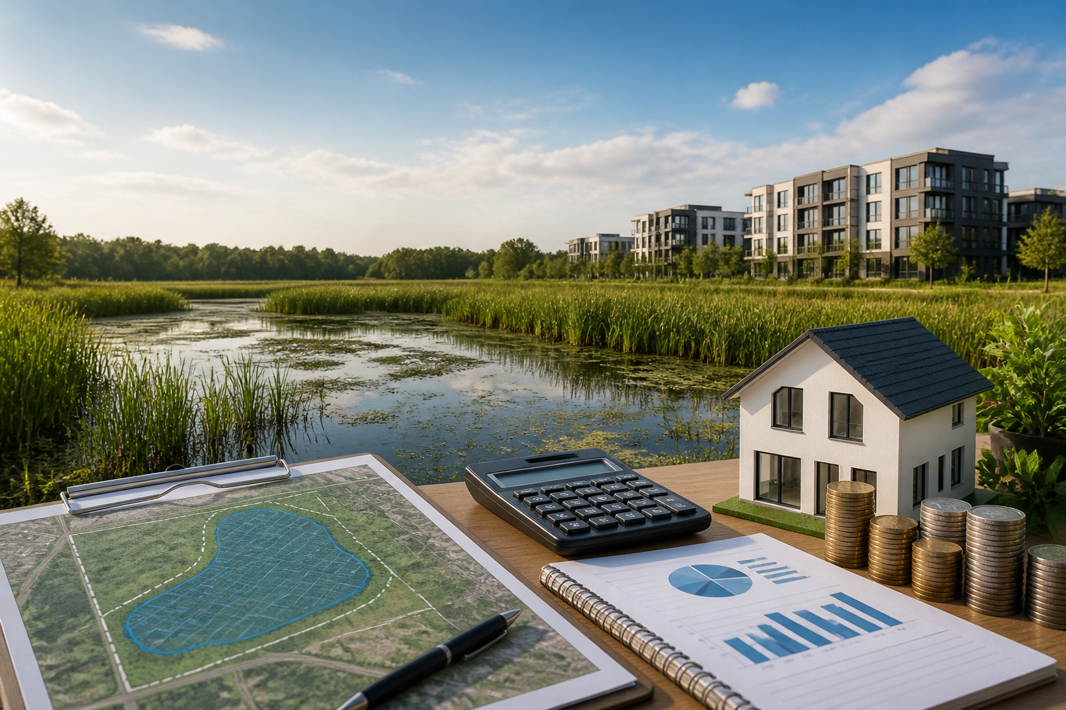
Learn wetland delineation report costs, budget impact, and why this due diligence step protects your real estate investment from costly permitting delays.
Table of Contents
- what's Wetland Delineation and Why It Matters
- Wetland Delineation Cost Breakdown
- What Actually Drives Your Wetland Delineation Cost
- Formal vs. Informal Delineation: What's the Difference and What Does It Cost?
- The Wetland Delineation Process and Timeline
- When Wetlands Are Found: Mitigation Cost Implications
- Who Needs a Wetland Delineation? Common Investor Scenarios
- How to Control Wetland Delineation Costs Without Cutting Corners
- Conclusion: Wetland Delineation as an Investment Tool
- Frequently Asked Questions About Wetland Delineation Cost
Don't skip the wetland delineation report cost conversation before closing. This is one of the most consequential due diligence steps you can take as a real estate investor or developer. Here's why it matters: a parcel with undisclosed or poorly understood wetland boundaries can trigger federal permitting requirements, delay construction timelines by months, and generate mitigation expenses that dwarf the original delineation fee. And that's assuming you catch the problem before you're locked in. Whether you're evaluating a single residential lot or a multi-acre commercial site, knowing what delineation costs, what it covers, and when it's legally required protects your investment from day one. Are you really willing to bet your deal on wetland assumptions?

what's Wetland Delineation and Why It Matters

Wetland delineation is the formal scientific process of identifying and mapping the precise boundaries of wetland areas on a property. Here's why it matters: under Section 404 of the Clean Water Act, this process determines which portions of your parcel fall under federal jurisdiction. That means you'll need a permit before you can fill, grade, or develop those areas.
The U.S. Army Corps of Engineers (USACE) and federal regulators rely on a three-part test to classify land as a wetland. All three criteria must be present:
- Hydrophytic vegetation: Plant species adapted to grow in saturated or flooded conditions
- Hydric soils: Soils that form under prolonged saturation and anaerobic conditions
- Wetland hydrology: Evidence of regular inundation or saturation at or near the surface
Here's what you need to know. The regulatory landscape governing wetlands isn't fully settled as of 2026. The U.S. Supreme Court's 2023 Sackett v. EPA decision established a "continuous surface connection" standard for federal jurisdiction. Then a conforming EPA/Army Corps rule proposed in late 2025 still hasn't been finalized.
And this is crucial: many states — including California, Washington, Minnesota, Wisconsin, Virginia, New Jersey, and New York — regulate wetlands independently of federal jurisdiction. Lose federal coverage in those states? Your local permitting obligations don't change. Always verify which regulatory bodies govern wetlands in your specific jurisdiction before making development decisions.
Back to topWetland Delineation Cost Breakdown

Here's the reality: wetland delineation costs aren't one-size-fits-all. Project scope, site conditions, and your regulatory pathway all drive the final number. Across the country in 2026, you're looking at $3,500–$8,000+ for standard projects. But acreage and complexity? They'll swing that price dramatically.
Want to know what each phase actually costs? We've broken it down using Illinois as a real-world benchmark:
| Component | Typical Cost Range | What's Included | Timeframe |
|---|---|---|---|
| Wetland Screening / Desktop Review | ~$1,000 | GIS mapping, aerial imagery review, NWI database check, NRCS soil maps, preliminary wetland probability assessment | 1–3 business days |
| Field Survey & Boundary Flagging | $1,000+ | On-site scientist visit, soil sampling, vegetation survey, hydrology indicators, GPS flagging of wetland boundaries | 1–3 days on site |
| Delineation Report Preparation | $1,000+ | Full technical report, data forms, delineation maps, GPS coordinates, photographic documentation | 1–3 weeks |
| Permitting & Agency Review | $600+ | Jurisdictional determination submission, agency coordination, USACE review response; state-level review fees vary by jurisdiction (e.g., Oregon DSL charges $600 for Tier 1 / $1,200 for Tier 2) | 30–180+ days depending on agency backlog |
| Total Project Cost | $3,500–$8,000+ | All phases combined for a standard residential or small commercial site | 6–16 weeks typical |
Now, complexity changes everything. A 5-acre site with straightforward hydric soils typically runs $4,000–$6,000—that's your baseline. But scale up to 40 acres with multiple perched wetlands and dense vegetation, and you're looking at $18,000–$28,000 as of 2026.
And here's where it gets interesting for investors.
Smaller parcels where you're only questioning a portion? You might get away with under $2,000 (2025 data). But if you're dealing with mid-to-large sites that need state agency (DEC) coordination, budget $5,000–$12,000 (2025 data). Don't lowball this line item—it'll kill your deal timeline if you have to redo it.
Back to topWhat Actually Drives Your Wetland Delineation Cost
Every delineation lands on a different price tag. Here's what moves the needle most:
- Property size: More acreage means more boots on the ground and way more mapping work. You're looking at $1,000–$2,000 per acre on smaller lots (2026 data), but that rate drops as your parcel gets bigger.
- Hourly consultant rates: Wetland ecologists and delineators charge $120–$260 per hour in 2026, depending on their background and where you're located.
- Site complexity: Thick vegetation, multiple wetland types, or gnarly hydrology patterns? That's more data collection and more time in the field.
- Accessibility: A remote site or steep slope kills your timeline. You'll burn hours on travel and may need specialized gear to even get out there.
- Seasonal timing: Spring and early summer is when wetland indicators actually show up. Going off-season often means repeat site visits and extra costs.
- Regulatory jurisdiction: Some states run their own wetland programs on top of federal requirements. That's additional review rounds and extra fees stacked on top.
- Number of wetland areas: Multiple disconnected patches mean multiple data forms, a thicker report, and more hours of prep work for your consultant.
Stacking this against your other due diligence spend? Don't sleep on severed mineral rights and how they tank land value — it's just as easy to miss and hits your deal economics the same way wetlands do.
Back to topFormal vs. Informal Delineation: What's the Difference and What Does It Cost?
Here's what most investors get wrong: they don't know the gap between a formal delineation and a wetland reconnaissance. Pick the right one at the right time, and you'll pocket thousands. Pick wrong, and you're bleeding money.
| Aspect | Informal Reconnaissance | Formal Delineation | When to Use Each |
|---|---|---|---|
| Typical Cost | $500–$2,000 | $3,500–$8,000+ | — |
| Timeline | Days to 1 week | 6–16 weeks | — |
| Regulatory Acceptance | Not accepted by USACE or state agencies for permitting | Required for Section 404 permits and jurisdictional determinations | — |
| Use Case | Pre-offer due diligence, investment screening | Pre-development permitting, financing requirements | Reconnaissance before offer; formal before closing or permit application |
| Report Complexity | Qualitative summary, preliminary map | Full technical report with data forms, GPS coordinates, maps, and agency-ready documentation | — |
You're screening five properties at once? Start with a reconnaissance. It costs $500–$2,000 per parcel and takes a week. That's your quick filter. You'll know which ones have wetland exposure and which ones are clear before you commit real capital to due diligence.
And here's the timing piece that matters: reconnaissance happens pre-offer. Formal delineation happens before closing or when you're ready to pull permits. If you're investing on a tight budget, this sequencing saves you thousands on deals that don't make sense anyway.
Back to topThe Wetland Delineation Process and Timeline

You need to know what's coming at you in this process. Understanding each phase keeps your project timeline realistic and saves you from getting blindsided by agency delays that can cost real money.
Step 1: Desktop Screening and Preliminary Assessment
Your consultant starts here, not in the field. They're pulling National Wetland Inventory (NWI) maps, NRCS Web Soil Survey data, FEMA flood maps, LiDAR topography, and historical aerial imagery to estimate whether wetlands exist on your site and where. This work scopes out what the field survey actually needs to cover.
Step 2: Field Survey and Boundary Flagging
A certified wetland delineator hits the site. They're documenting all three wetland criteria—vegetation plots, soil profile descriptions, and hydrological indicators. And where wetlands exist, surveyors flag the boundary lines. GPS coordinates get logged for every flag. This is where theory meets dirt.
Step 3: Report Preparation
Now the consultant compiles everything into a formal delineation report. This matters. Your lenders, permitting agencies, and title companies all want to see it. A complete report includes data forms from each sampling point, a delineation map overlaid on a survey plat or aerial image, photographs, and a narrative that walks through the findings.


Step 4: Permitting and Regulatory Review
If you're building near or on those delineated wetlands, you submit a permit application to the USACE and any relevant state agency. Here's where the numbers matter for your underwriting. As of March 15, 2026, the USACE's updated Nationwide Permits set a Pre-Construction Notification (PCN) trigger at 1/10 acre of wetland loss and require compensatory mitigation for losses exceeding that same 1/10-acre threshold. For most Nationwide Permits, you're looking at a total allowable wetland loss of ½ acre in non-tidal waters; in tidal waters like those under NWP 14, it's ⅓ acre. These thresholds are deal drivers. They determine whether you get fast-tracked through a Nationwide Permit or stuck waiting months for an Individual Permit that'll cost significantly more.
And here's the long-game consideration: the USACE typically accepts a valid delineation for five years, though this varies by jurisdiction and site conditions. But if you're not breaking ground within that window—which matters for long-hold land positions—you'll likely need a re-delineation. That's another cost line item to budget.
Back to topWhen Wetlands Are Found: Mitigation Cost Implications
Wetlands don't automatically tank a deal. But they do add real costs that you need to model into your underwriting before you write a check. If your permitted activity impacts wetlands above USACE thresholds, compensatory mitigation is mandatory — which usually means buying credits from a wetland mitigation bank.
Here's where geography matters. A lot. Iowa's emergent wetland mitigation bank credits run $35,000–$75,000 per credit, while forested wetland credits cost $45,000–$105,000 per credit as of 2026. Florida's a different animal entirely. The state uses a Uniform Mitigation Assessment Method (UMAM), and mitigation costs can range from $30,000–$360,000 per acre of impact depending on wetland quality and function. And these aren't permit fees sitting at the county office — they're the actual cost of ecological offsetting. On a smaller parcel, mitigation bills can easily eat the entire land value.
The delineation report isn't some compliance checkbox you file away. It's your underwriting foundation. You need to know what wetlands exist on your site and how much impact you're looking at before closing. Don't skip this step. For investors weighing raw land against improved properties, our analysis of new construction vs. older homes for investment ROI shows how environmental constraints fit into your total project costs.
Back to topWho Needs a Wetland Delineation? Common Investor Scenarios
Think delineations only matter when you're actively building? Think again. Active development isn't the only trigger. Here's what you'll actually encounter in the field:
- Residential lot development: Any grading, filling, or utility installation near suspected wetlands requires Section 404 compliance. Got a single-lot project with minimal impact? You might qualify for a Nationwide Permit — but you can't know which permit applies without that delineation in hand.
- Multi-lot residential subdivisions: The preliminary plat stage is when delineations typically come into play. And here's where it stings: wetland buffers eat into your net developable acreage, which tanks your subdivision economics fast.
- Commercial and industrial development: NWP 39 (Commercial and Institutional Developments) is your friend here. It's been effective since March 15, 2026 and runs through March 15, 2031. You can lose up to ½ acre of wetland under streamlined review — but only if you've got a completed delineation backing your permit application.
- Land investment and pre-purchase due diligence: No development in your immediate pipeline? Doesn't matter. Understanding your wetland footprint lets you value the land right, negotiate actual numbers, and avoid stepping into an undisclosed liability trap.
- Agricultural drainage and utility work: Section 404 does carve out exemptions for certain agricultural activities. Problem is those exemptions come with strings attached and won't help you if the work converts wetlands to upland. Get your boundaries confirmed before you move dirt.
How to Control Wetland Delineation Costs Without Cutting Corners
You can absolutely manage your delineation budget smartly. Just don't skip the rigor—regulators notice.
- Start with desktop screening only. Desktop work is your first move. If the preliminary review shows no wetlands likely exist, you might skip the full field visit and pocket $1,000–$3,000 in savings. Get that assessment in writing from your consultant—no surprises later.
- Bundle with a Phase I Environmental Site Assessment. This is a no-brainer if you're already ordering Phase I work. Many environmental firms will discount delineation when it's paired with a Phase I ESA. Why? The site visit and desktop research already overlap, so they're not duplicating labor.
- Schedule field work during growing season. Wetland indicators are most visible in spring and early summer. You'll catch more evidence faster, which cuts down on inconclusive results that force you back to the site a second time—and that's where costs balloon.
- Use informal reconnaissance for initial offer negotiations. Before you drop money on a formal delineation, run a lower-cost reconnaissance. Does it look like wetlands are actually a real issue? This buys you crucial intel while you're still under contract, and it protects your earnest money during negotiations.
- Avoid DIY delineations for regulatory purposes. Don't even think about it. USACE and state agencies require a qualified professional to conduct delineations. An unqualified report won't pass permitting review, and you could face serious legal exposure if you build on a boundary you guessed wrong.
Here's what matters: wetland delineator certification requirements vary by state. Some states run their own programs; USACE has federal standards that sit separately. Before you hire anyone, confirm their credentials are actually recognized by every agency with jurisdiction over your site.
Back to topConclusion: Wetland Delineation as an Investment Tool
Here's the reality: a wetland delineation report cost between $2,000 and $28,000 (depending on lot size and complexity as of 2026) is money you don't skip. Small residential parcels run under $2K. Large, complex sites? You're looking at $18K–$28K. And honestly? It's one of the smartest due diligence moves you can make.
Why does this matter to your deal? Because a completed delineation tells you exactly how many acres you can actually develop. It maps your permitting timeline. It quantifies your mitigation liability—and that's critical, since mitigation costs routinely hit hundreds of thousands on a single project.
Don't be the investor who skips this line item to save a few grand. You'll regret it when you discover halfway through underwriting that your 10-acre parcel only has 6 developable acres, or when mitigation costs blow up your pro forma. Budget the delineation early. Sequence it right. Treat it like the underwriting tool it is, not like a cost center.
Back to top
Frequently Asked Questions About Wetland Delineation Cost
How much does wetland delineation cost per acre?
You're looking at $1,000–$2,000 per acre on smaller properties as of 2026. The bigger your acreage, the better your per-acre rate gets—that's just how mobilization and report writing work at scale. A straightforward 5-acre site? Expect $4,000–$6,000. Now jump to 40 acres with complications. That's $18,000–$28,000.
How long is a wetland delineation valid?
USACE-approved delineations stay good for five years. After that, site conditions may shift or regulators change guidance—either way, you might need a re-delineation. And here's the thing: state agencies don't always follow the same timeline. Before you lean on an older delineation for permitting, check with your local regulatory body about their specific validity window.
Who pays for the wetland delineation — buyer or seller?
It's negotiable. There's no legal mandate either way. Typically, whoever's pulling the permit—usually the buyer or developer—foots the bill. But smart sellers of development land are changing that equation. They commission delineations upfront, list with solid data, and command better prices with fewer buyer contingencies hanging overhead. In standoffs, you'll see delineation costs credited at closing.
What happens if I disagree with the delineation results?
The USACE issues an Approved Jurisdictional Determination (AJD) that feels wrong to you? File for reconsideration or appeal through their administrative process. You've got 60 days from the AJD to do it. State delineations have their own appeal tracks. Fair warning: appeals kill your timeline and burn money on additional technical documentation from your consultant.
What if no wetlands are found on my property?
A clean delineation is gold. It's documented proof there are no jurisdictional wetlands on the land, and that clarity moves needles—lenders want it, title companies expect it, and your exit strategy just got stronger. Don't toss that report in a drawer. File it away. You'll need it for future financing conversations, entitlement work, or when you eventually sell the property.
Back to top