

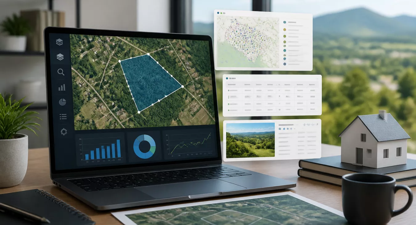
Discover top data aggregator platforms for land investors. Compare features, unify property records, and spot undervalued deals faster than the competition
Products and Tools Mentioned in this Post

Propstream
Detailed information on Propstream. Get How-To's, reviews, Comparisons, and much more.


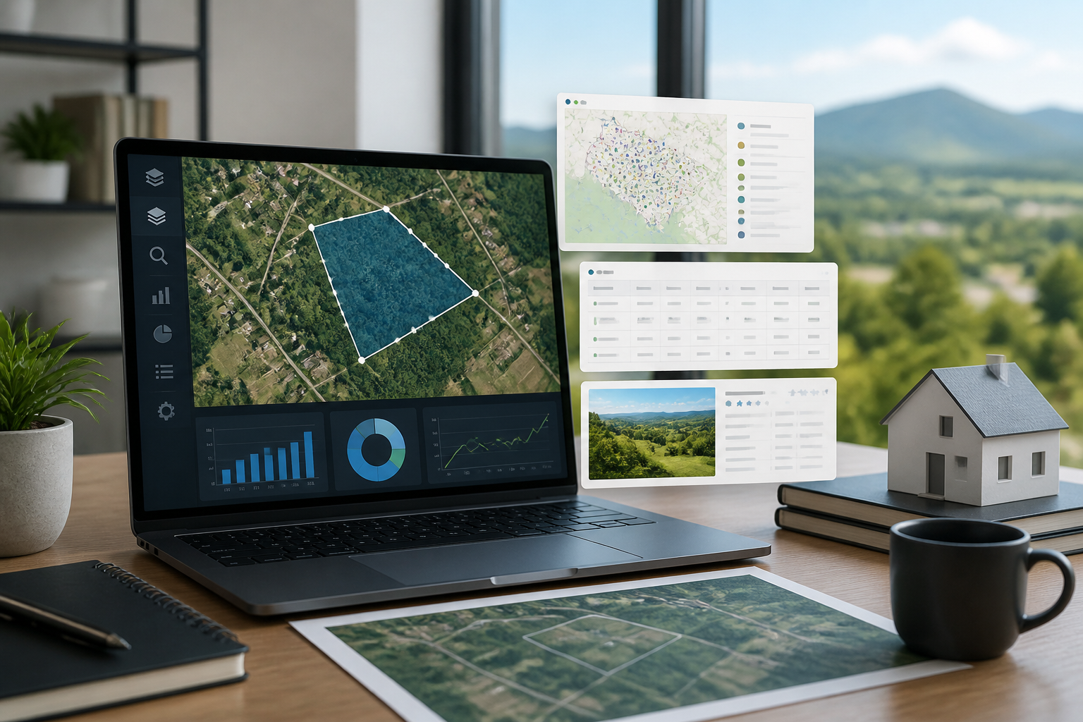
Table of Contents
- What Are Data Aggregator Platforms?
- The Land Investor Data Challenge
- How Data Aggregator Platforms Work
- Key Features Land Investors Should Prioritize
- Top Data Aggregator Platforms for Land Investors
- Implementation Strategy for Land Investors
- Platform Selection Checklist
- The Future of Data Aggregation in Land Investment
- Conclusion
- Frequently Asked Questions
Land investing's always been data-heavy. But here's the thing — the sheer volume, variety, and speed of property data now overwhelm any spreadsheet you've got. Data aggregator platforms for land investors are where serious operators live. You get unified access to parcel records, deed histories, permits, listings, and ownership intel across thousands of counties without the manual grind. And the stakes? They're real. U.S. vacant land prices jumped +77% since early 2019, with the national average hitting roughly $19,500 per acre as of 2026. That margin for error? It's gone. The right platform spots undervalued parcels before the market wakes up. Miss the tool, miss the deal.

What Are Data Aggregator Platforms?
A data aggregator platform does something straightforward: it pulls property data from everywhere. County assessors, recorder offices, MLS systems, permit databases, GIS layers — it grabs from all of them, normalizes everything into one consistent schema, and serves it back through a single interface or API. For land investors, this changes the game. You get automated, deduplicated data streams instead of spending hours in fragmented manual research. Parcel boundaries, ownership chains, zoning designations, environmental flags — it's all there.
And here's the thing: this isn't just a fancy property search tool. Real aggregators do the heavy lifting most investors skip — deduplication, standardization across county formats that don't play nice with each other, real-time or scheduled refreshes. The numbers tell the story. According to recent industry data, 74% of commercial real estate professionals now use at least one dedicated mapping or parcel intelligence tool as of 2026. Back in 2022? Only 58%. That's a 16-point swing in four years. Manual workflows simply don't scale anymore — not if you want to compete.
Back to topThe Land Investor Data Challenge

Fragmented Sources and Manual Workflows
You know how it starts. County assessor records get dumped into Excel. One person can handle it fine — until they can't. The moment your team grows, you're drowning in "fat finger" errors, stale data, and version-control chaos that'll make you want to scream.
And then there's the geography problem. Operating across multiple states means dealing with completely different data formats, update schedules, and public records access policies. Each county plays by its own rules.
Most pros end up juggling Yardi, MRI, CoStar, and various county GIS portals simultaneously. None of these systems talk to each other natively. Duplicate records pile up. Parcel IDs get mismatched. Ownership data sits months old. For context on how to source quality raw data before it even reaches an aggregator, see our guide on distressed property lists and the 7 data sources professional land investors use.
Impact on Decision-Making
Bad data doesn't just kill productivity. It kills deals.
An outdated ownership record means you're mailing campaigns to people who haven't owned the property in months. Incomplete permit histories hide unpermitted structures or environmental violations that tank your land valuation. These aren't edge cases or theoretical risks — they're what happens every single day for investors working without a unified data layer. Want to avoid leaving money on the table? You need your data clean and current.
Back to topHow Data Aggregator Platforms Work

Data Collection and Normalization
The best platforms pull from two sources: direct data feeds (licensed agreements with county assessors, title companies, and MLS organizations) and automated collection processes. Direct feeds win here—they're more reliable and timelier than screen scraping, which breaks every time a county redesigns its portal. And it happens constantly.
Raw data hits the platform, then what? The aggregator runs deduplication logic that matches parcels across datasets using APN (Assessor Parcel Number), owner name, and geographic coordinates. Land deals throw a wrench in this—parcel boundaries shift through splits, combinations, and easement recordings. That complexity matters. After deduplication, the platform normalizes everything: address formats get standardized, acreage fields convert to consistent units, ownership entities resolve across LLCs and trusts.
Real-Time vs. Batch Processing
Here's the trade-off. Near real-time updates work for active listing data and tax delinquency flags, but parcel boundary and deed data? That's batch processing tied to county recorder filing cycles—weekly or monthly, depending on jurisdiction. You need to know the refresh cadence for each data type if you're running time-sensitive plays like tax lien investing or expired listing outreach. The wrong timing costs deals.
For a deeper dive into how analytics actually drive your investment strategy, check out Data-Driven Real Estate: How Top Investors Use Analytics.
Back to topKey Features Land Investors Should Prioritize
- Multi-source parcel integration: You need deeds, assessor records, permits, MLS listings, and environmental overlays all in one dashboard — not scattered across five different logins
- GIS and mapping layer support: Flood zone data matters here. FEMA NFHL covers over 90% of the U.S. population, and you'll also want wetlands, soil classifications, and zoning overlays mapped out
- Owner contact data and skip tracing: Direct mail and cold outreach campaigns don't work without accurate contact intel
- API access: Building a custom workflow? Integrating with a real estate CRM? You'll need this
- Automated reporting and alerts: Get notified when ownership changes, new permits drop, or tax delinquency status shifts. Don't wait for monthly reports
- Scalability: Your data platform should expand with your target geography. Per-county add-on fees kill your unit economics fast
Environmental due diligence gets overlooked way too often. Land investors acquiring rural parcels need flood zone verification and wetlands identification built into their data workflow from day one — not scrambled for after you've signed a contract. That's when it's already too late. Our investor's guide to identifying wetlands on property walks through exactly why this step matters and how to execute it properly.
Back to topTop Data Aggregator Platforms for Land Investors

Here's what's actually moving the needle for land investors right now. Enterprise players, scrappy mid-market operators, and emerging platforms all sit in the table below—and honestly, which one you pick depends entirely on your workflow and budget. Pricing is locked in as of 2026 where we could verify it, but don't just copy these numbers into your spreadsheet. Hit up the vendors directly and confirm before you commit.
| Platform | Parcel Coverage | Starting Price (2026) | Best For | Key Strength |
|---|---|---|---|---|
| PropStream | 160M+ properties | $99/mo (Essentials) | Active acquisition investors | Owner data, skip tracing (~$0.12/lead), list building |
| Regrid | 160M+ parcels, 3,200+ counties | $80,000/yr (enterprise license) | Enterprise GIS and developers | 100% U.S. parcel coverage, API-first |
| LightBox / LandVision | 150M+ parcel records | Custom enterprise pricing | Commercial land and development teams | Mapping, entitlement data, due diligence workflows |
| DataTree / RealQuest Pro | Nationwide (First American network) | $150–$275/mo | Title, finance, mid-market investors | Deep deed and lien history |
| ListSource | Nationwide (CoreLogic) | $50 min; $0.30–$0.45/record | List-building for mail campaigns | Targeted demographic and property filters |
Want the full breakdown? We've got you covered. Check out our complete Property Data Aggregators for Real Estate Investors: Comparison & Review to see how these stack up across all real estate scenarios. And if you're specifically curious about ATTOM, we've got a dedicated ATTOM Review that digs into the details.
Back to topImplementation Strategy for Land Investors

Assess Before You Subscribe
Here's what matters: How many counties are you actually working? Do you really need owner contact data, or is parcel intelligence enough to move the needle? And what about API access — can you live without CRM integration, or does your workflow demand it? Most investors waste money subscribing to enterprise licenses when a solid mid-market tool does everything they need. Audit your current process before you sign anything.

Migration and Integration
Run both systems in parallel for 30–60 days. You'll catch data gaps fast. Reconciliation issues show up immediately when you're working with real workflows instead of assumptions.
And don't skip the CRM connection. Most aggregators offer Zapier or native integrations. That's your ticket to ditching manual data entry — the biggest time killer in land investing operations.
Measuring ROI
What's actually improved? Track time-to-decision on acquisitions, campaign response rates, and — this is the real tell — how many due diligence findings you catch pre-contract versus post-contract. That number separates winners from everyone else.
You also get sharper market selection with data-driven workflows. That's critical when you're looking at a $22,500/acre property in Rhode Island versus a $725/acre play in New Mexico. 2025 USDA data shows the valuation spread across U.S. land markets is brutal. For guidance on where to focus your capital, check out our Best Markets for Land Investing: Data-Driven Analysis 2026. And if you want the full breakdown on farm real estate values, the USDA data speaks for itself.
Back to topPlatform Selection Checklist
Before you commit to any platform, you need to know what actually matters. Here's what separates the tools that'll make you money from the ones that'll waste your time and subscription fees.
| Feature Category | Essential | Important | Nice-to-Have |
|---|---|---|---|
| Parcel boundary data | ✓ | ||
| Deed and ownership history | ✓ | ||
| Tax delinquency flags | ✓ | ||
| FEMA flood zone overlay | ✓ | ||
| Owner contact / skip tracing | ✓ | ||
| Permit and entitlement data | ✓ | ||
| API / CRM integration | ✓ | ||
| Automated listing alerts | ✓ | ||
| Comparable sales analytics | ✓ | ||
| Multi-currency / international coverage | ✓ |
The Essential column? Don't compromise there. Parcel boundaries, deed history, tax delinquency flags, and FEMA flood overlays are deal-killers if they're missing. You can't underwrite a property without knowing the actual boundaries or if the taxes are delinquent—that's just due diligence 101.
And the Important features matter too, but they're not absolute showstoppers. Owner contact and skip tracing let you direct-mail and cold-call motivated sellers. Permit data helps you understand what you can actually build or renovate. API integration keeps everything flowing into your CRM instead of forcing manual data entry.
Nice-to-have features sound appealing. But honestly? Most investors skip comps analytics and listing alerts because they've got better sourcing channels already.
Back to topThe Future of Data Aggregation in Land Investment

Owner propensity scoring. Automated valuation models. Anomaly detection in deed chains. Machine learning isn't coming to data platforms — it's already there on the best ones. But here's what actually moves the needle: predictive entitlement analytics. We're talking platforms that flag parcels likely to get zoning changes before the notice even hits public records. That's the intel serious rezoning investors need. Our rezoning strategy guide walks through how to leverage this kind of foresight.
Blockchain-based title recording pilots are live in several counties right now. Eventually, you'll get near-instantaneous ownership updates through aggregators instead of waiting weeks for deed recording to catch up. And then there's the consolidation play. LightBox's acquisition of LandVision? That's not the last we'll see. The mid-market platform space is contracting hard. You're going to see more investors pushed toward either cheap SaaS tools or enterprise-grade API licensing — there's no middle ground anymore. Which is why staying sharp on real estate data services comparisons matters more than ever as vendors shuffle the deck.
Back to topConclusion
For land investors, the right data aggregator isn't optional—it's your operating system. Running a high-volume direct mail play with PropStream at $99–$699/month? Building a GIS-powered acquisition engine on Regrid's enterprise parcel layer? Or going institutional-grade through LightBox? The math is always the same: unified, clean, deduplicated data moves faster and converts better. Pick a platform that actually matches how you work. Budget for integration costs on top of the subscription. And track ROI through real operational metrics—deals closed per dollar spent, not just data access.
Don't sleep on complementary tools either. A solid PropertyRadar subscription pulls court and marketing data that pure parcel aggregators miss. Pair that with expired listing sourcing strategies, and you've got a legitimately complete off-market pipeline.
Back to topFrequently Asked Questions
What's the difference between a data aggregator and a property search portal?
Zillow and Realtor.com? They're for browsing active listings. That's not what you need. A data aggregator pulls raw data from public records, assessors, and licensed feeds — off-market parcels, deed chains, tax status, parcel geometry, the whole picture — and delivers it in bulk or via API so you can actually analyze it. Aggregators are built for investors building workflows, not casual browsers clicking around.
Which data aggregator platform is best for land investors on a limited budget?
PropStream's Essentials tier hits $99/month (2026 pricing) and covers 160 million+ properties. You get owner data and list-building tools that work for direct mail campaigns. But if you're bootstrapping hard? ListSource is your play. It's pay-as-you-go — $50 minimum, then $0.30–$0.45 per record as of 2026 — which means zero monthly commitment. Pick ListSource if you only need occasional targeted lists. Go with PropStream if you're pulling data weekly.
Do these platforms include zoning data?
Some do. But here's the catch: zoning data isn't standardized. An "A-1" designation in one county means something completely different five miles away in the next one. Platforms that show zoning are just reflecting whatever local code text exists in that jurisdiction. Don't trust it as gospel. Always verify zoning directly with the county or municipality before you commit capital to an acquisition.
How important is FEMA flood data in a land aggregator?
Non-negotiable. Any rural or undeveloped parcel evaluation needs it. FEMA's National Flood Hazard Layer is free and publicly accessible, covering over 90% of the U.S. population. The best aggregator platforms overlay NFHL data directly on parcel maps so you can flag Special Flood Hazard Areas — that's parcels with a 1% or greater annual chance of flooding — before you waste time on due diligence.
Can I integrate a data aggregator with my existing CRM?
Most mid-market and enterprise platforms offer API access or pre-built integrations. PropStream supports list exports and Zapier connections. Regrid's got a full RESTful API if you need custom development. Before you sign up, confirm the platform plays nice with your tech stack — whether that's a dedicated investor CRM or something more general-purpose. Integration compatibility isn't an afterthought. It's a deal-breaker if it's not there.
Back to top